Besides the popular tourist spots, there are places in the Joshua Tree National Park that are less known by the casual visitors. Sightseers flock to the more well travelled and easily accessible exhibits like the Keys View, Skull Rock, Ryan Ranch, and the Wall Street Mine.
But there are historical artifacts like petroglyphs, and mining structures and equipment that need a more eagle eyed explorer and eager hikers to discover in the 1,234 square mile park.
Petroglyphs, Pictographs and Native American Art
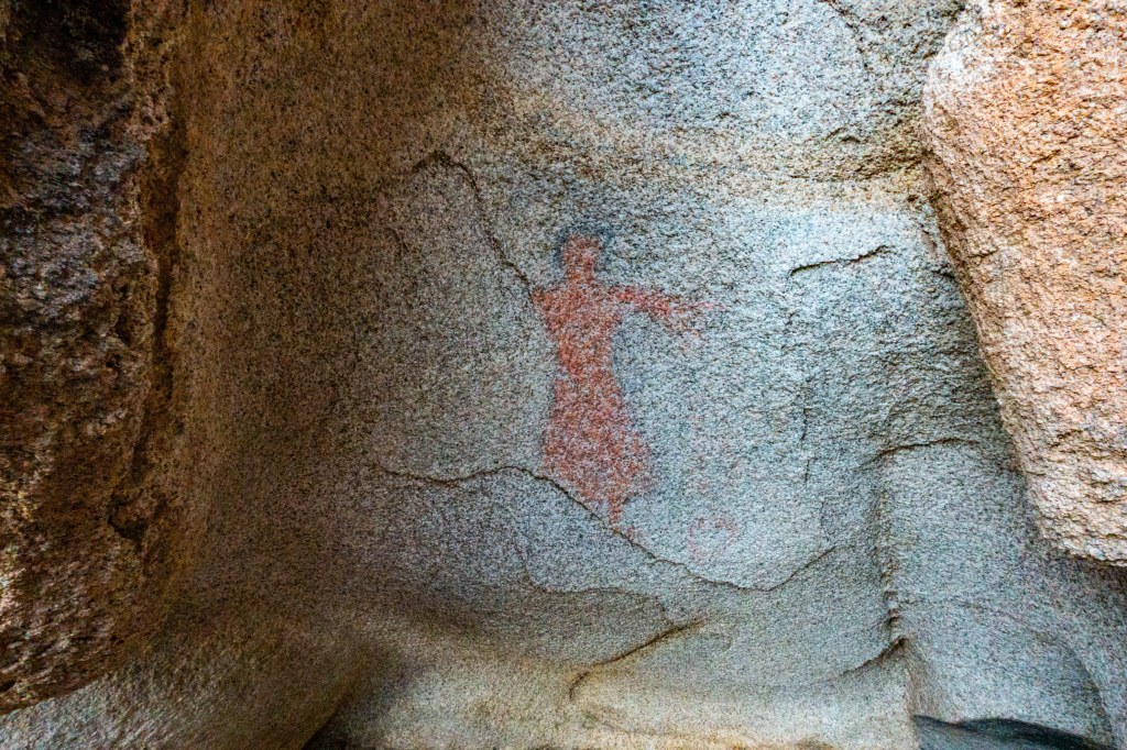
The Red Lady One of the Chemehuevi Indian sites (another one “The Brunette Lady”) that indicate the first day of spring and the beginning of their calendar.
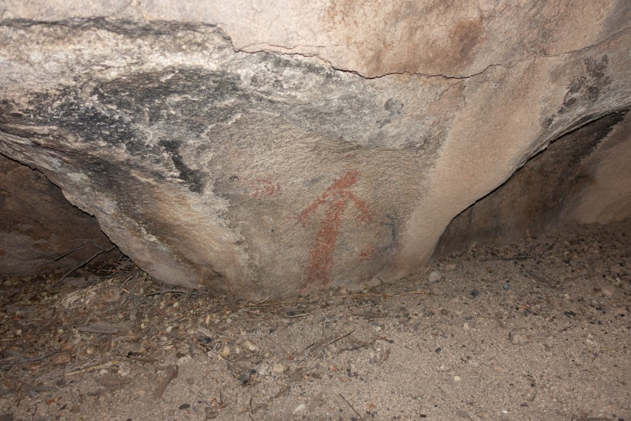
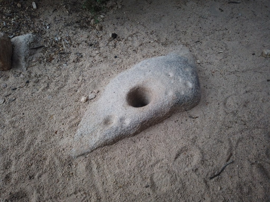
A large mortar hole is the indication that the “Red Lady Pictograph” is nearby.
The Brunette Lady is a mile away from the red lady.
Diamond Solstice Pictograph One of the pictographs near Barker Dam. It’s believed to be a summer solstice marker. The diamond patterns represent the birth canal symbolizing birth.

Besides the diamond patterns, vertical markings on the left can be observed although faint.
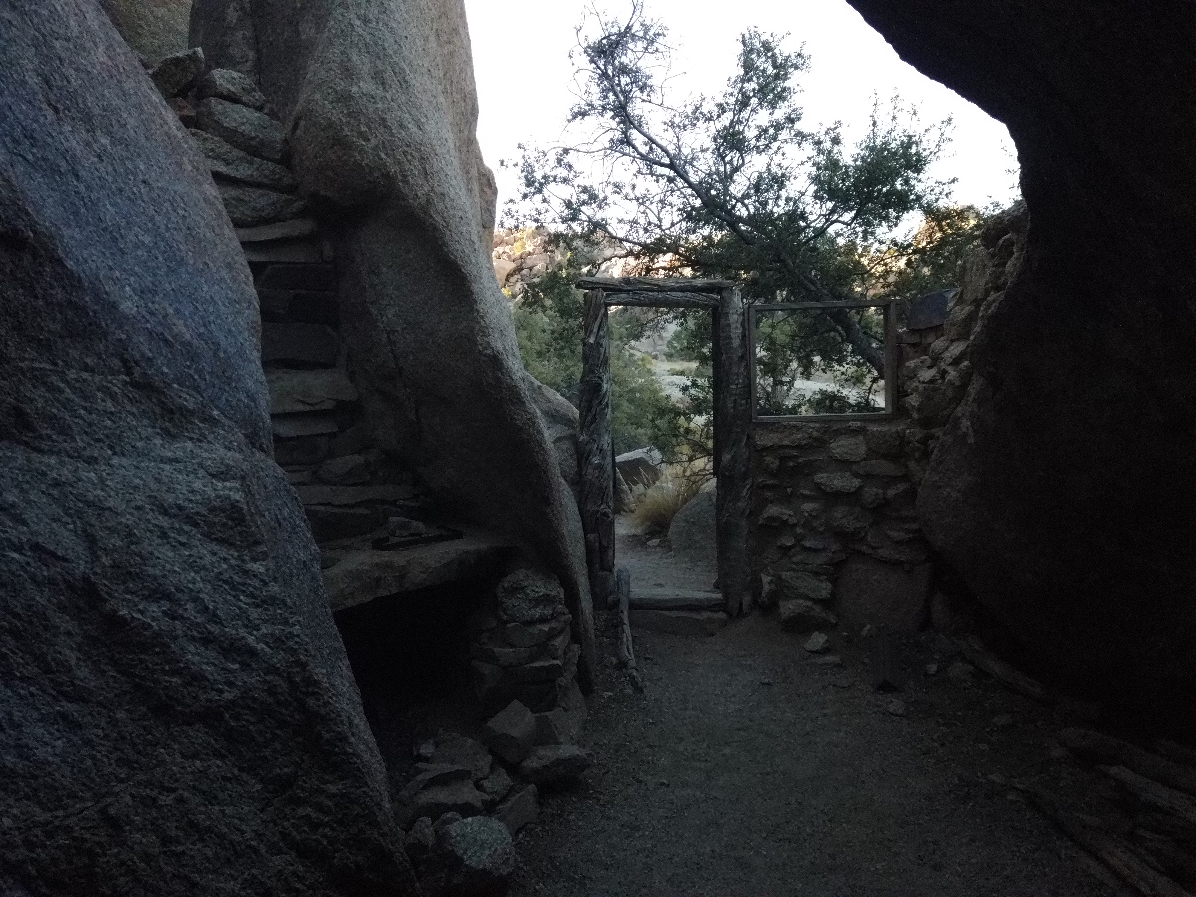
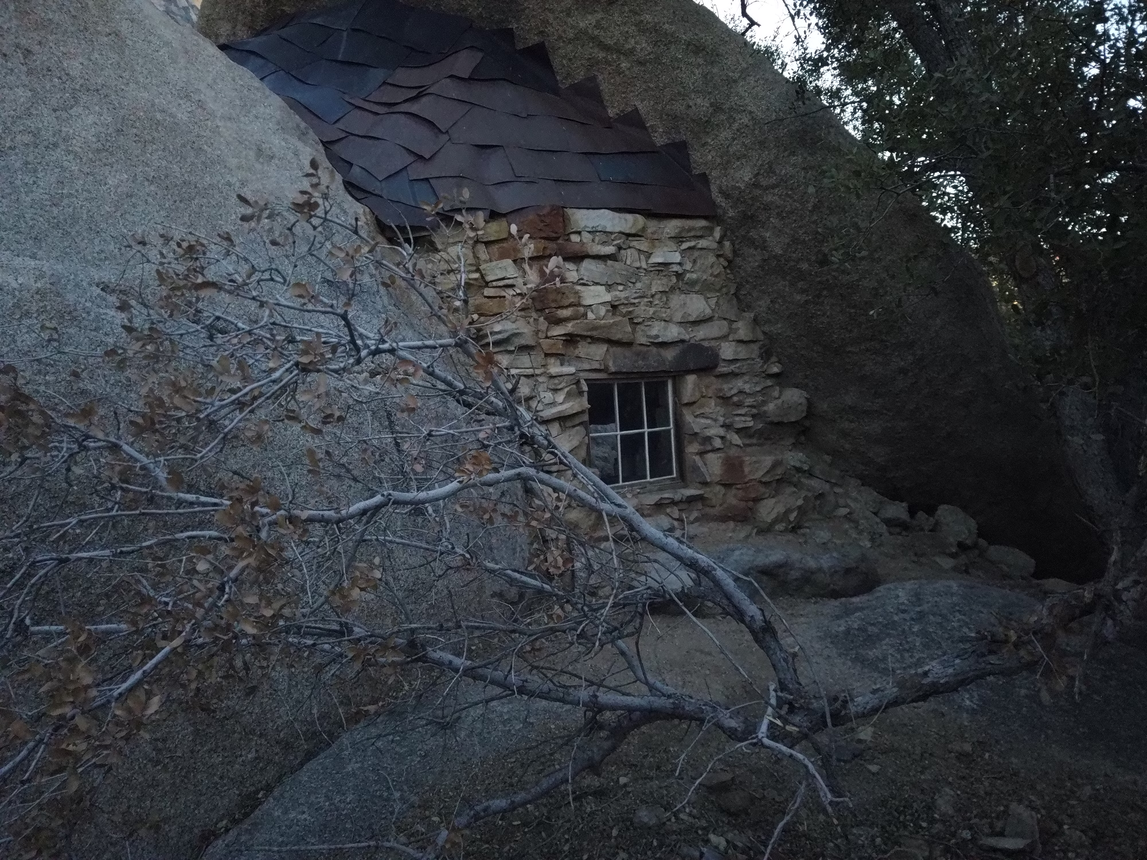
Alister’s Cave Pictographs The “cave” in the name is rather misleading since it’s more of recess on a hill where the early natives probably found a shelter from the heat of the desert sun. There are not only pictographs but some petroglyphs located in this site.
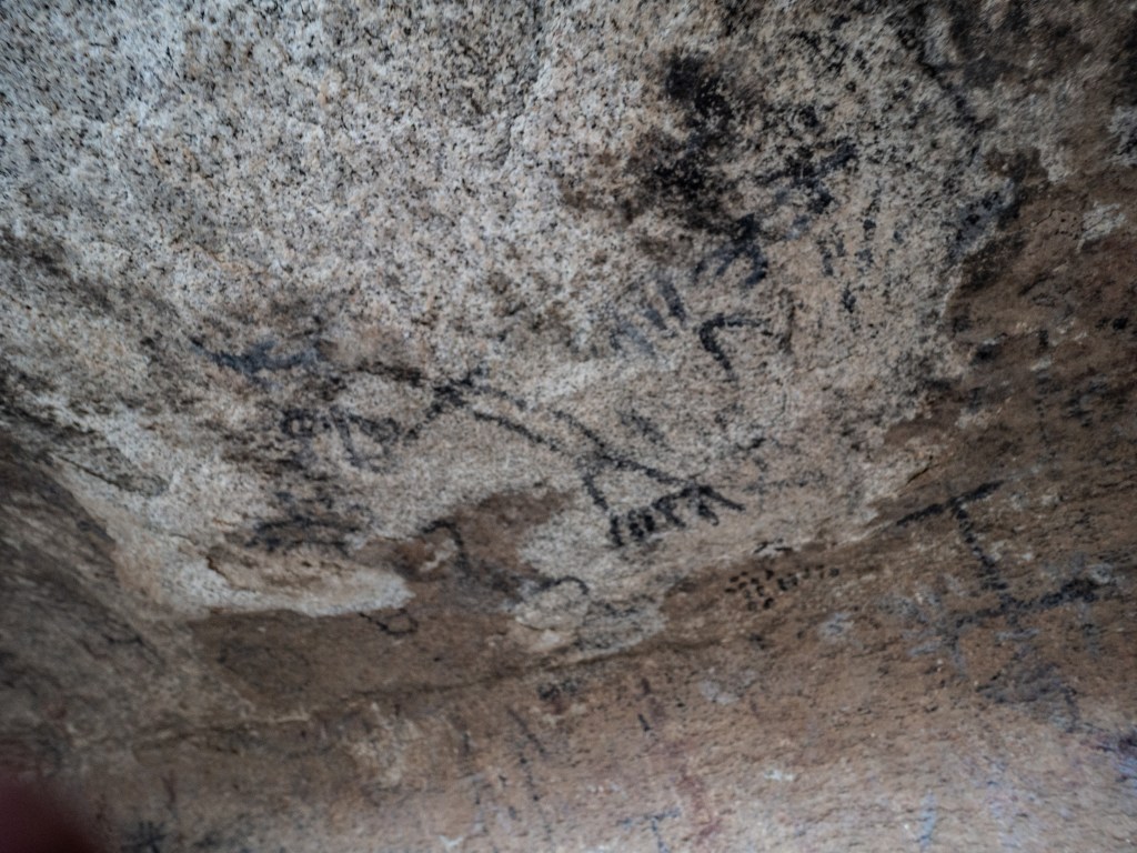
What’s the difference between a petroglyph and a petrograph? A petroglyph is an image carved in stone while a pictograph is a painting on stone using natural pigments. A pictographs are typically found in caves or other areas protected from the elements like rain.
Mining Sites and Equipment
Pinto Wye Arrastra Discovered relatively in recent history by a wife of a park employee in the 1960s.
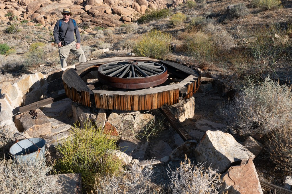
The Pinto Wye Arrastra was powered by four international upright gasoline engine instead of the traditional mules and burros.
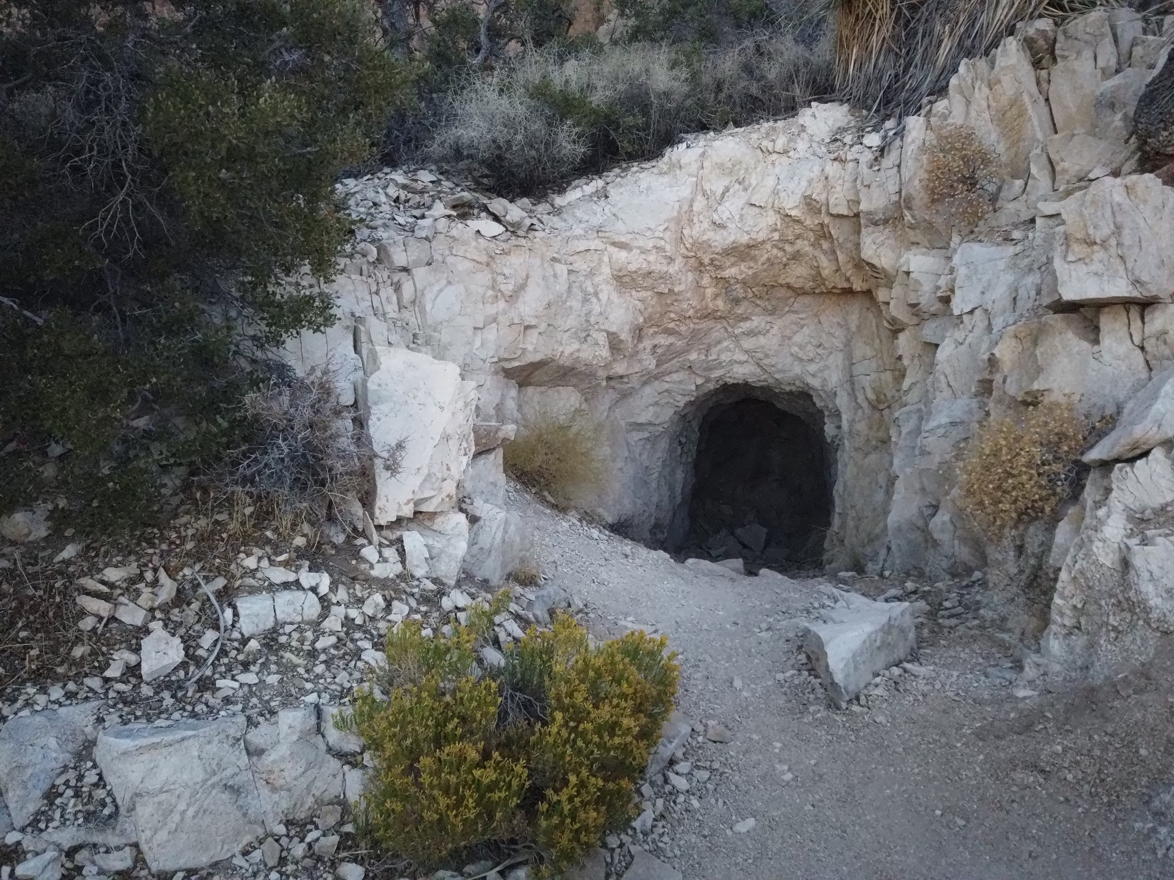
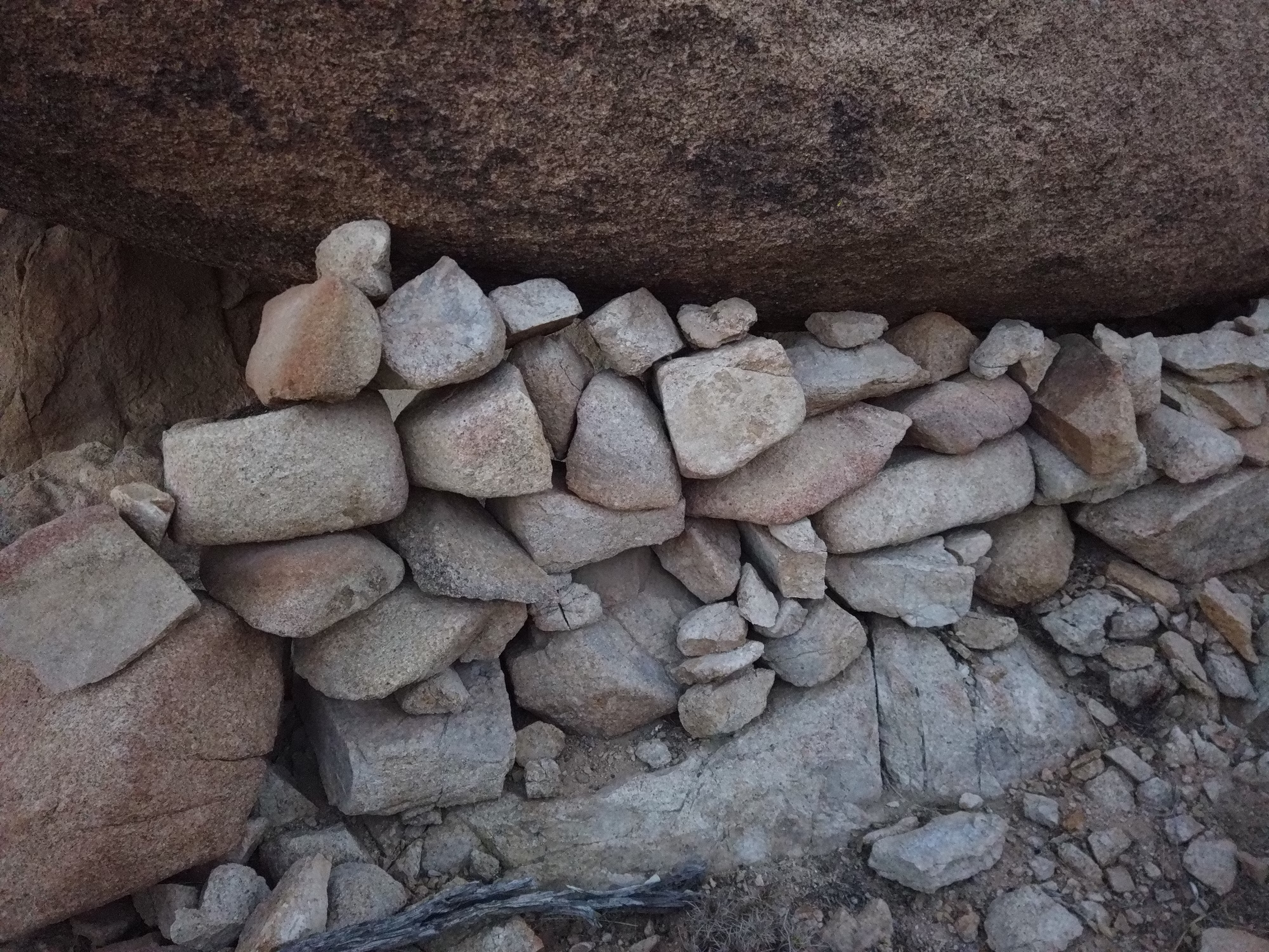
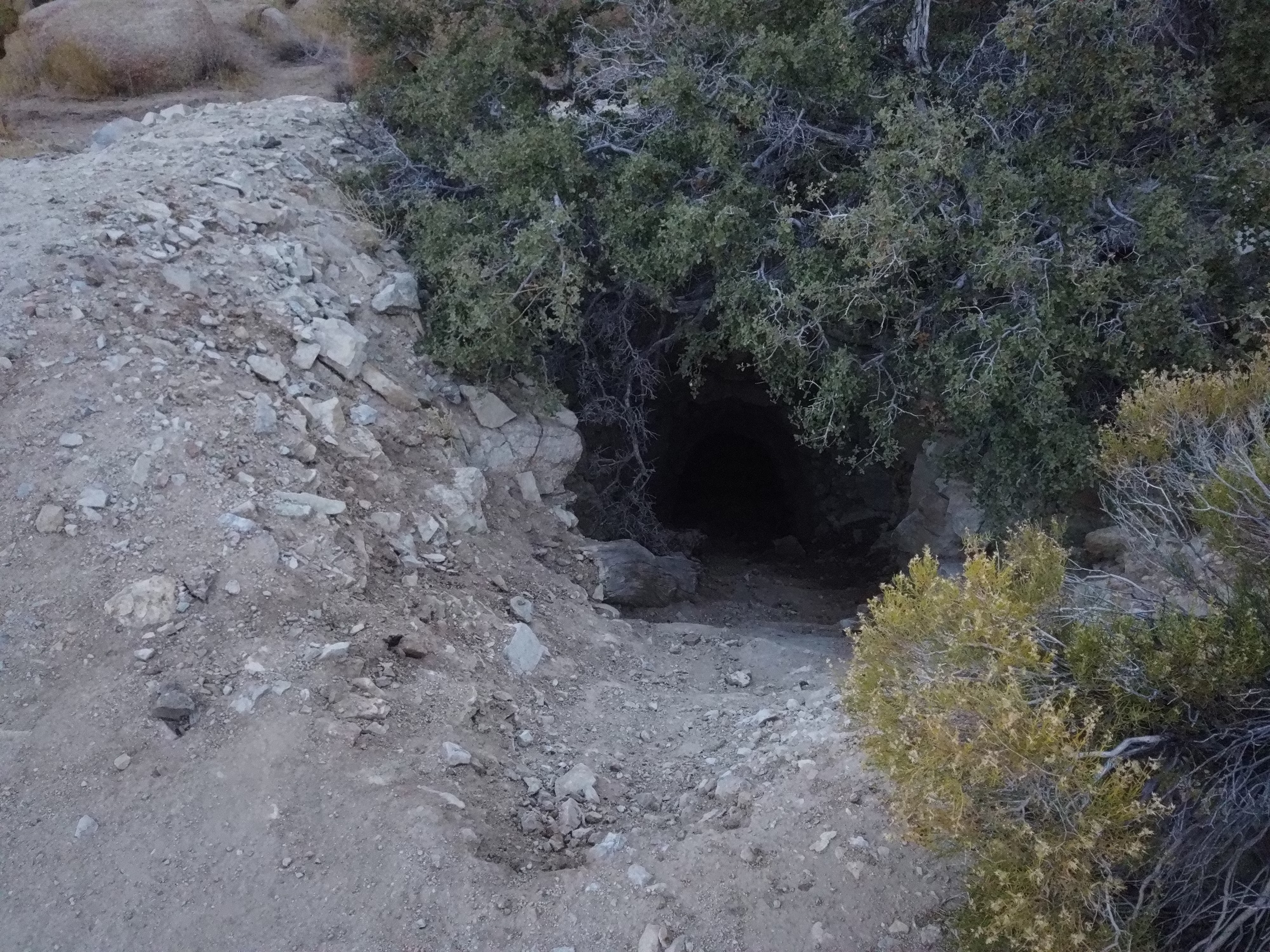
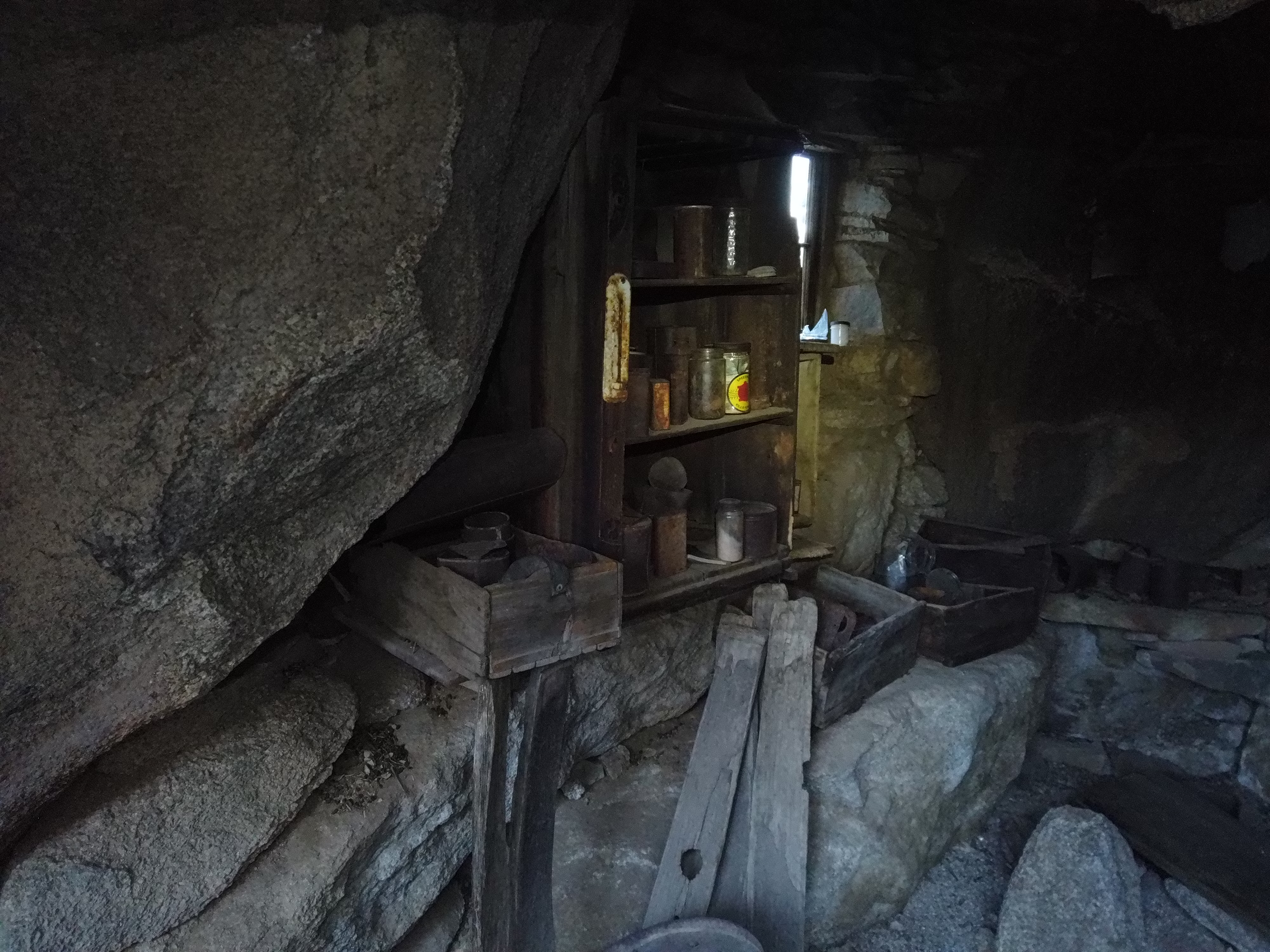
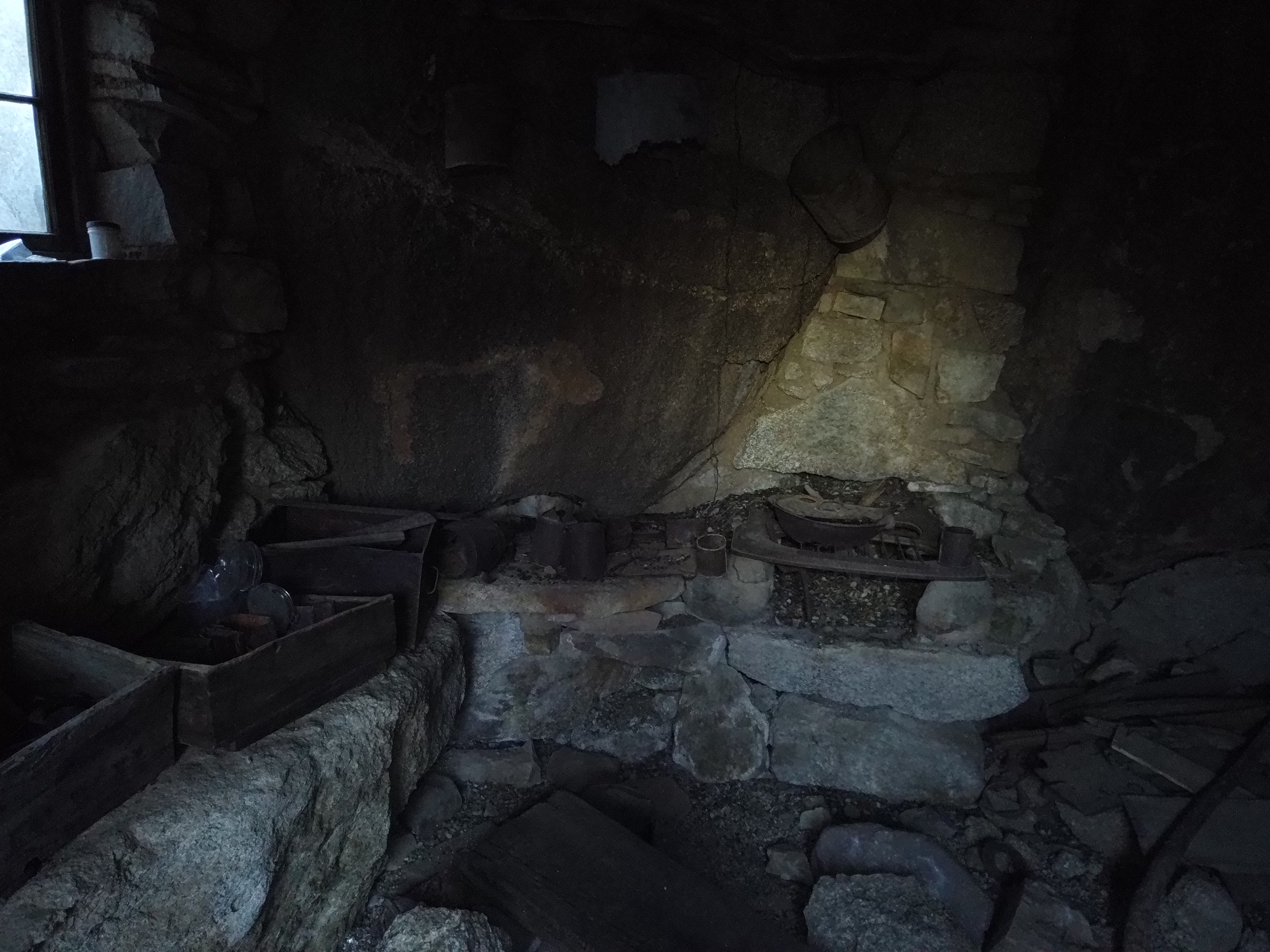
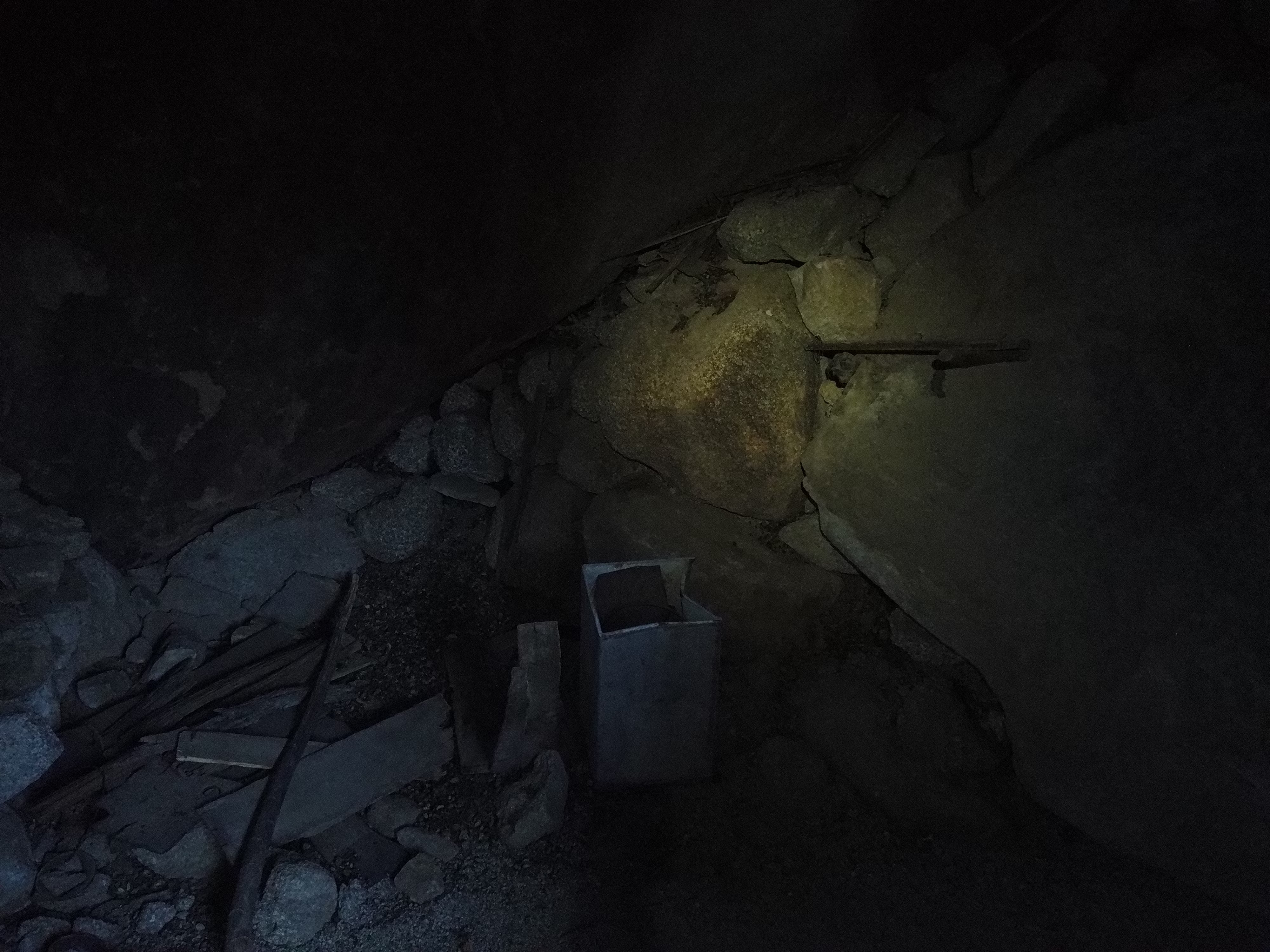
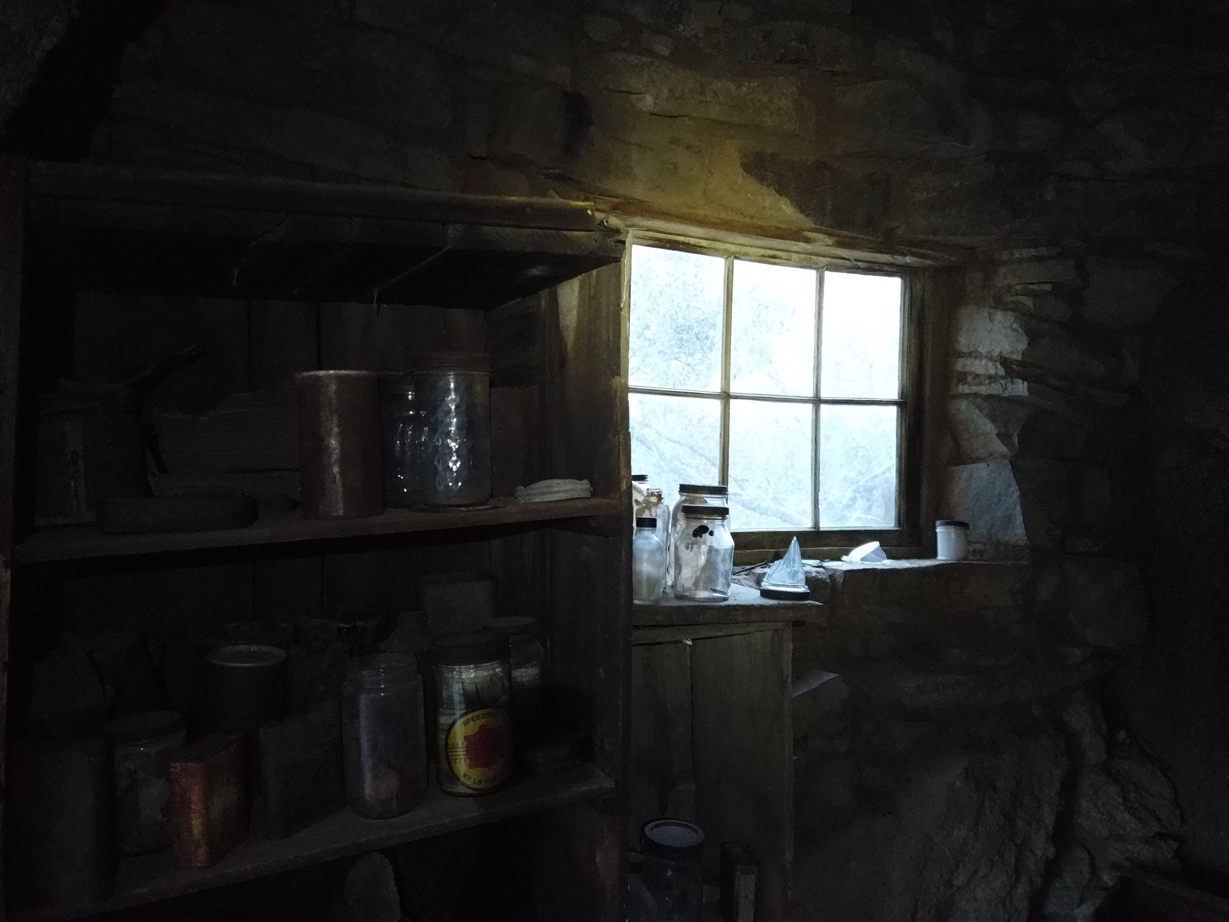
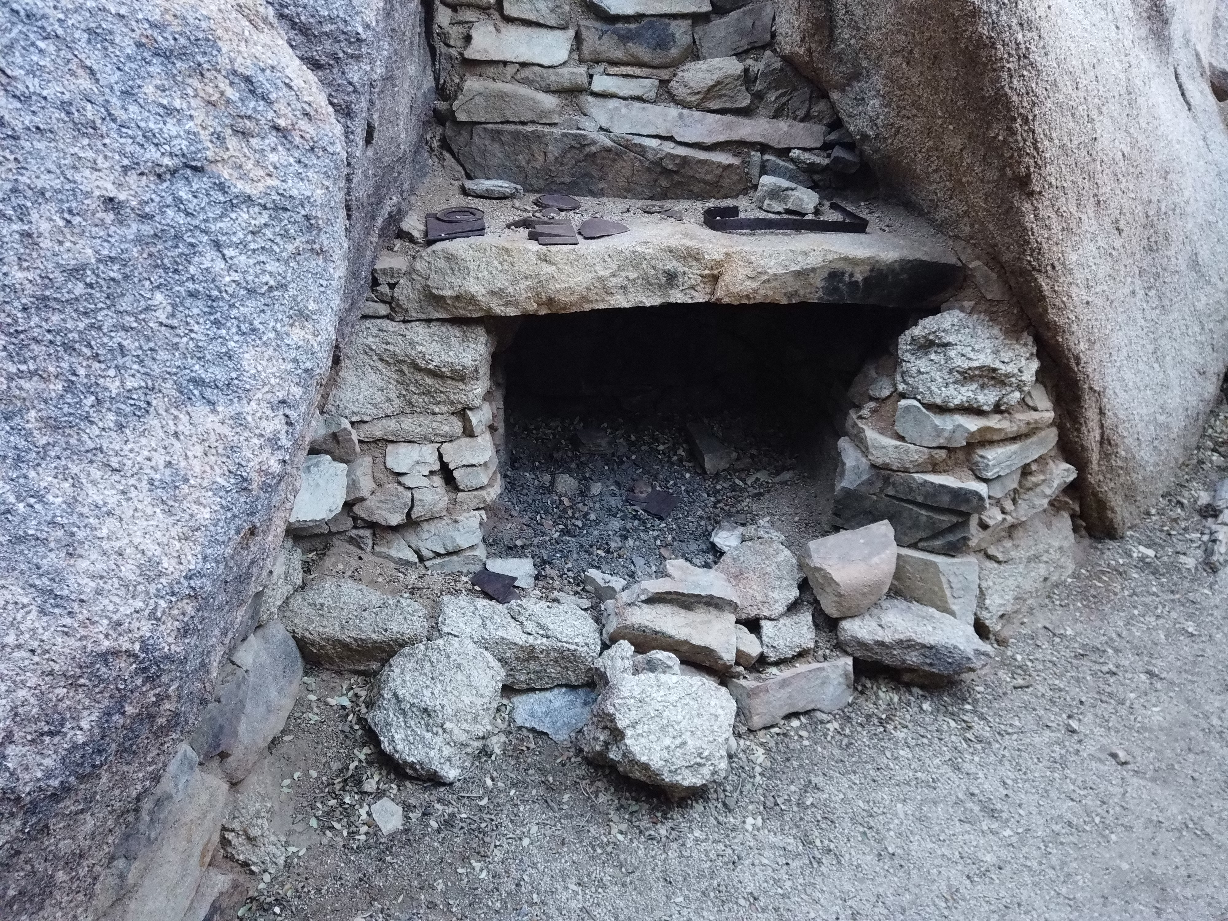
Eagle Cliff Mine The easiest way to the mine is via the Desert Queen Mine by a 3.4 mile hike total to and back with a total of 580 ft of elevation gain. Another way to get to the mine is to start from the Split Rock trailhead and hike towards northwest for about 1.2 miles and an elevation gain of fairly equal to the Desert Queen Mine route.